

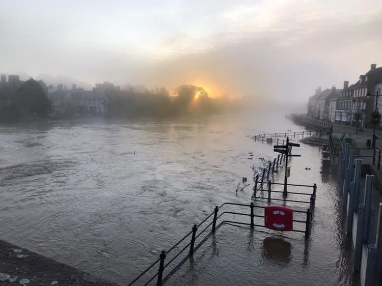
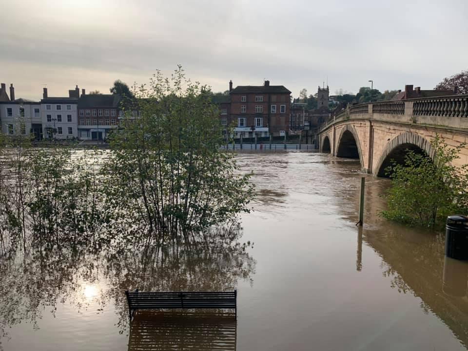
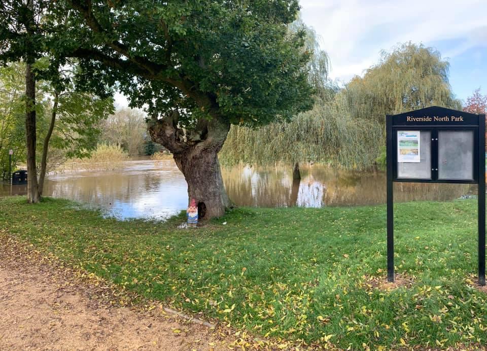
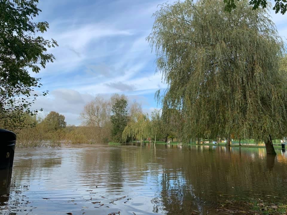
RIVER levels in the Wyre Forest have finally reached their peak, but the Environment Agency is still warning residents of possible flooding.
Roads, properties and farmland in Bewdley, Stourport and Upper Arley are expected to be hit by flooding as river levels remain high into Thursday.
The River Severn in Bewdley reached its peak at 4.58m today and a flood warning remains in place.
The Environment Agency said just before 5pm today: "River levels are steady at the Bewdley river gauge as a result of persistent heavy rainfall.
"Consequently, flooding of property, roads and farmland is expected."
— Dave Throup (@DaveThroupEA) October 29, 2019
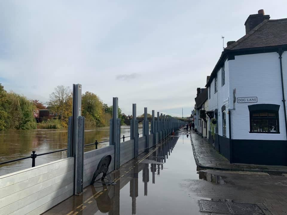
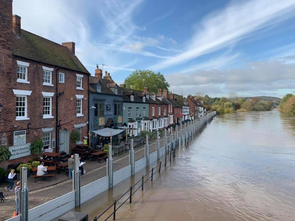
Despite river levels steadying, the Environment Agency is still warning residents near affected areas to move possessions and valuables off the ground to safety.
A spokesman said: "We are closely monitoring the situation. Our incident response staff are checking nearby defences and clearing weed screens.
"Please plan driving routes to avoid low lying roads near rivers, which may be flooded and move possessions and valuables off the ground or to safety.
"Activate any property flood protection products you may have, such as flood barriers and air brick covers."
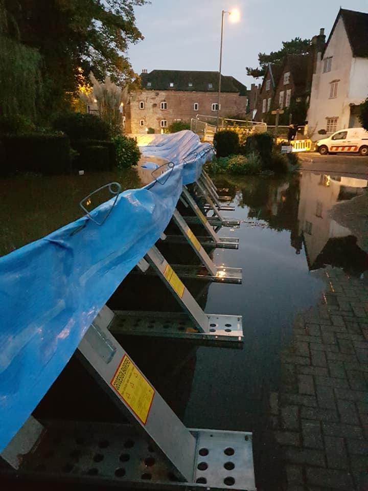
Defence barriers were deployed at Beales Corner on Monday barriers at Hylton Road were erected earlier today.
Worcestershire County Council said levels in Bewdley reached their highest today since 2014. The highest recorded river level in Bewdley was 5.56m in November 2000.


Comments: Our rules
We want our comments to be a lively and valuable part of our community - a place where readers can debate and engage with the most important local issues. The ability to comment on our stories is a privilege, not a right, however, and that privilege may be withdrawn if it is abused or misused.
Please report any comments that break our rules.
Read the rules here