

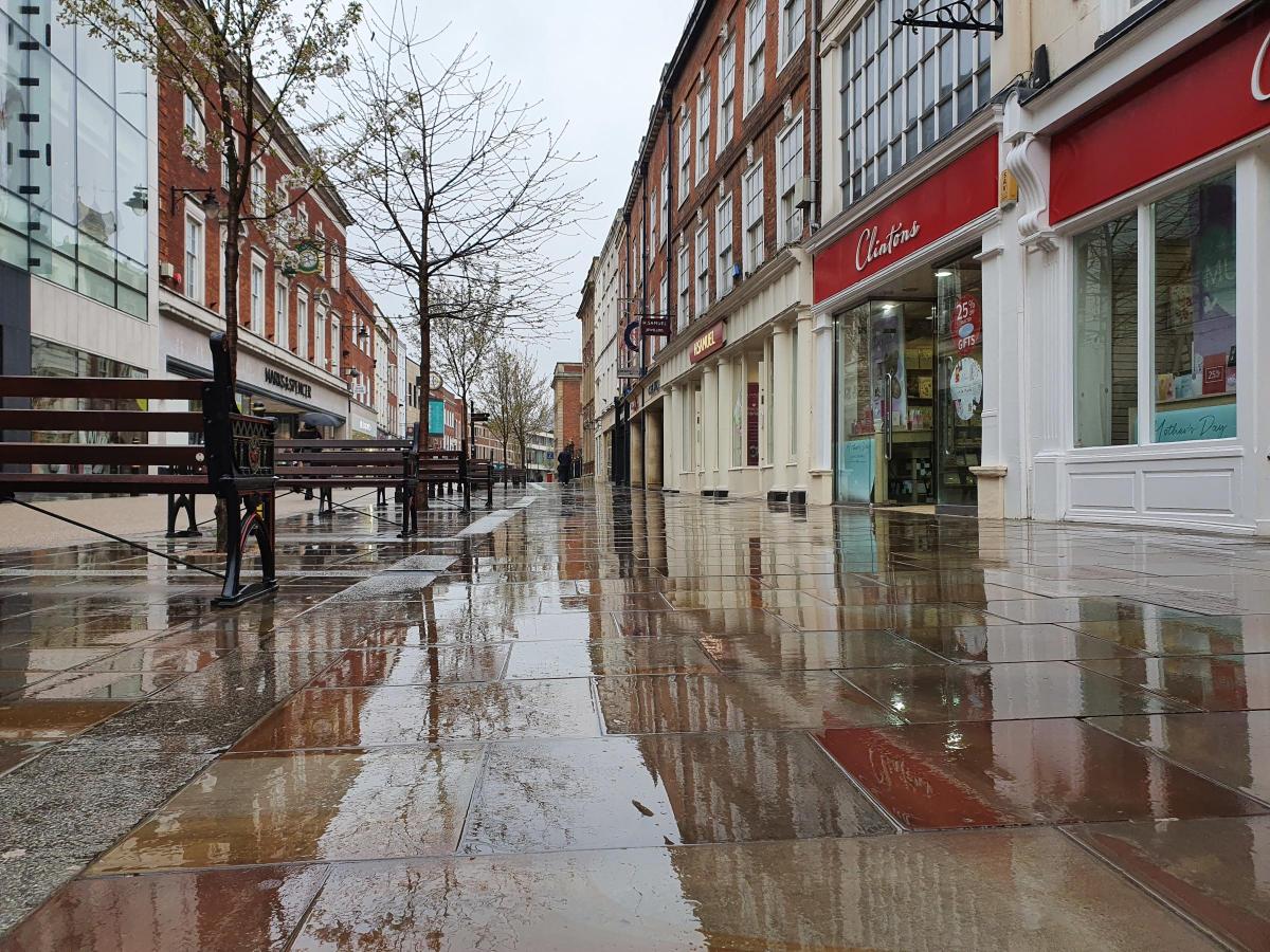
IT is fair to say the weather this month has been a bit of a disaster.
Small patches of warm and sunny weather have been interspersed with grim wind and rain throughout.
According to the Met Office, the wet start to the month has seen parts of the UK get within touching distance of their average rainfall for the month, with Wales seeing 25 per cent more rain than it would normally expect to see in the average May.
The poor weather, they say, is because of persistent low pressure since the start of the month.
The UK as a whole has had 88 per cent (61.1mm) of its average May rainfall.
Despite Wales and northern England seeing the most persistent rain, all countries in the UK are currently tracking well ahead of the amount of rainfall that would be expected by this point of the month, with Scotland already having 72% (60.9mm) of its May average total, Northern Ireland 77% (55.8mm) and England 92% (53.9mm).
Dr Mark McCarthy, scientific manager of the National Climate Information Centre, said: “Although it’s not unusual to see some downpours and cooler temperatures in May, the month so far has been particularly unsettled across the UK as the influence of low pressure systems has taken hold.
“May picked up where April ended with cooler temperatures and unsettled weather for many, especially in northern England and Wales.
"It is far too early in the month to talk about any potential records being set, but with rain in the current forecast, it seems likely that we’ll see above average rainfall across large parts of the country by the end of the month.”
For Worcestershire, the weather outlook for the week ahead remains unsettled, with further rain and wind on the way.
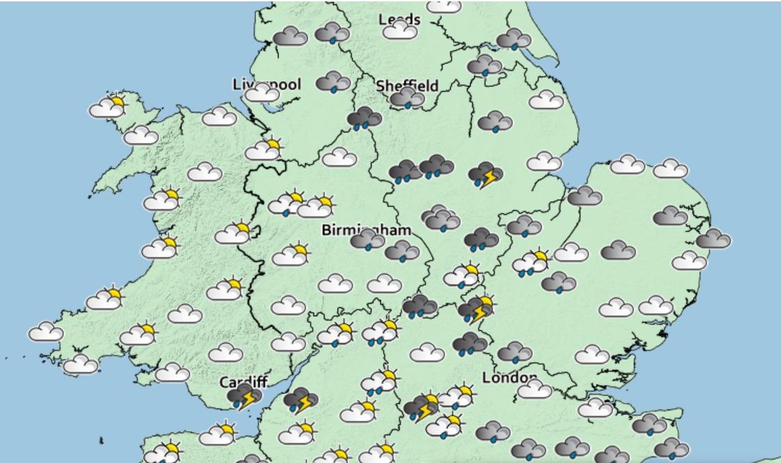
According to the Met Office, this week will see bright start for many but with showers developing later on.
It is a similar story for Wednesday, Thursday and Friday, with the pattern of sunny spells and heavy showers likely to continue throughout.


Comments: Our rules
We want our comments to be a lively and valuable part of our community - a place where readers can debate and engage with the most important local issues. The ability to comment on our stories is a privilege, not a right, however, and that privilege may be withdrawn if it is abused or misused.
Please report any comments that break our rules.
Read the rules hereLast Updated:
Report this comment Cancel