

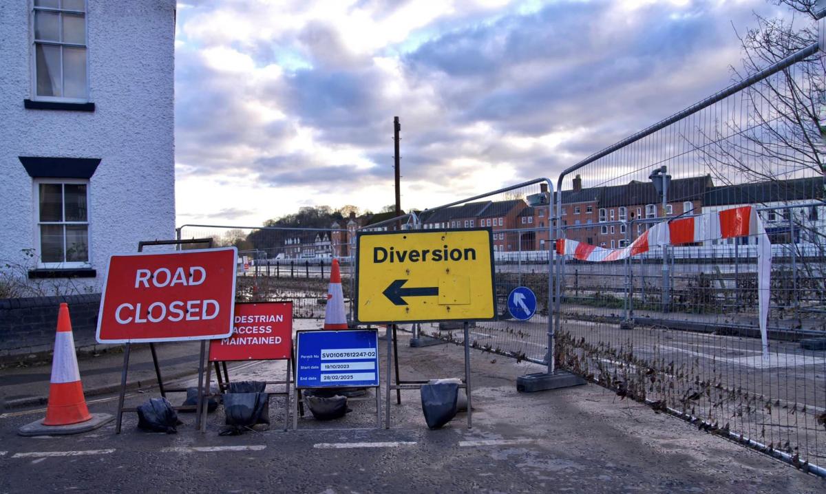
A CLEAN-up operation has been carried out after Beales Corner in Bewdley was hit by flooding.
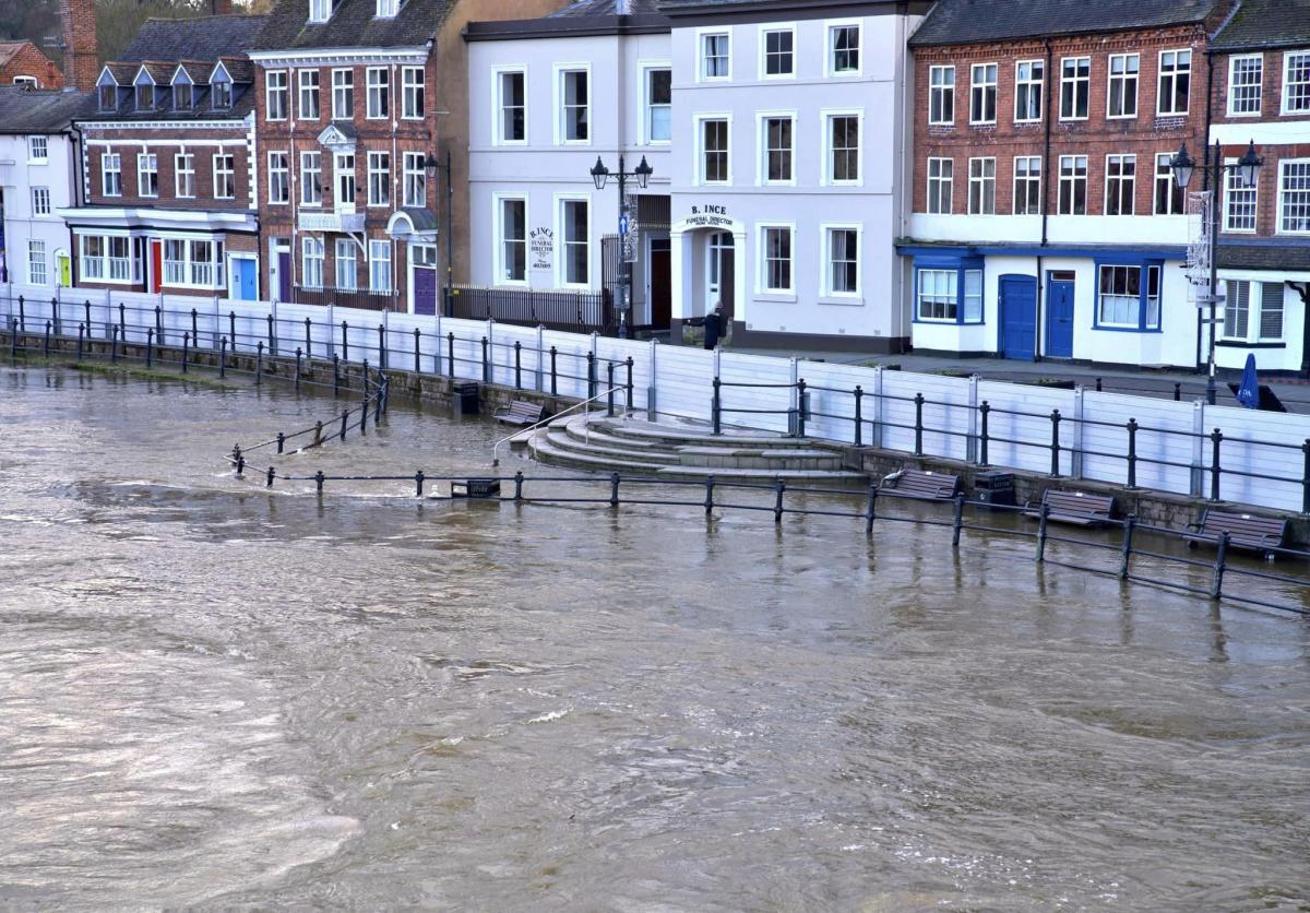
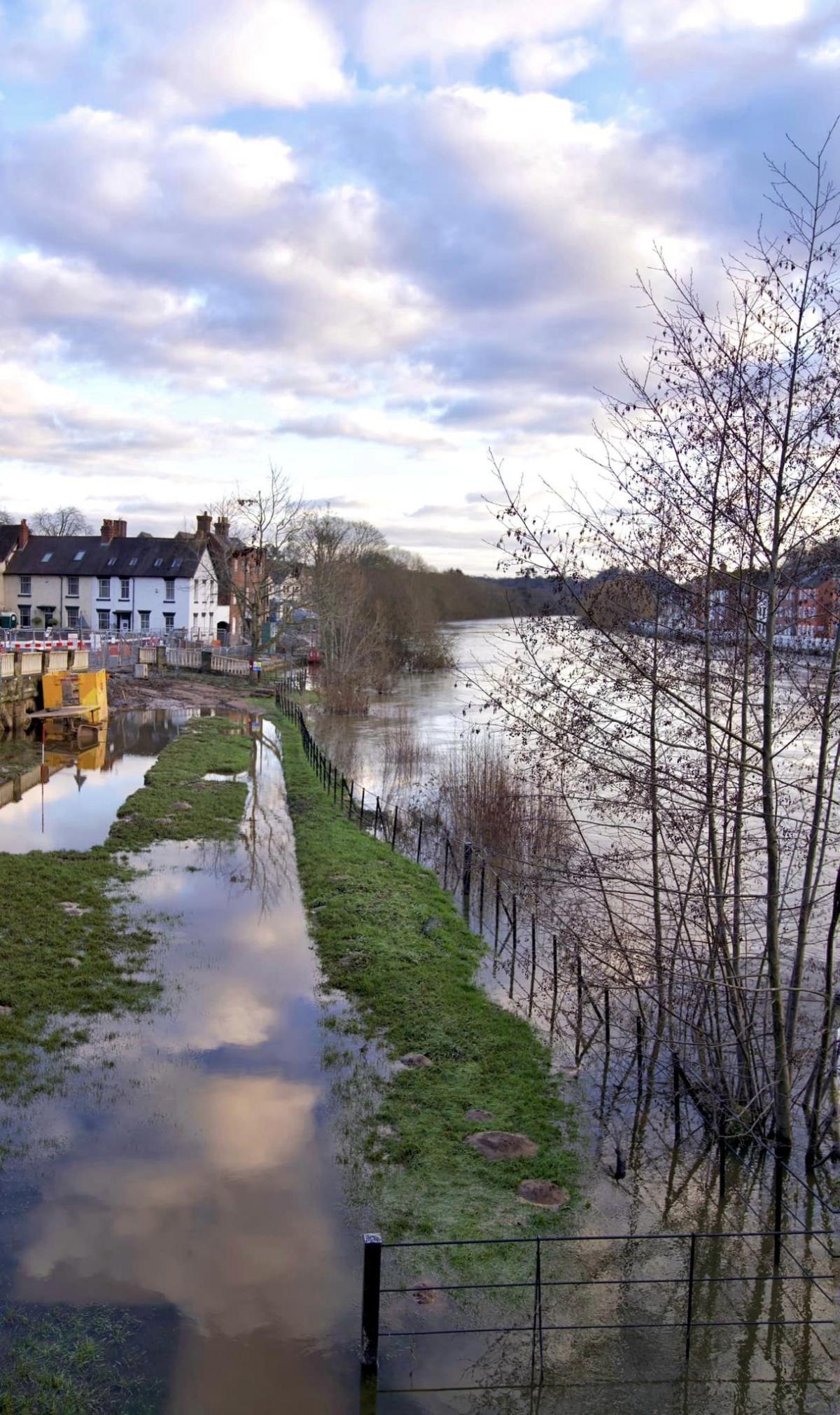
Last week, the River Severn levels rose due to heavy rainfall with a red flood warning in place for Bewdley and Stourport.
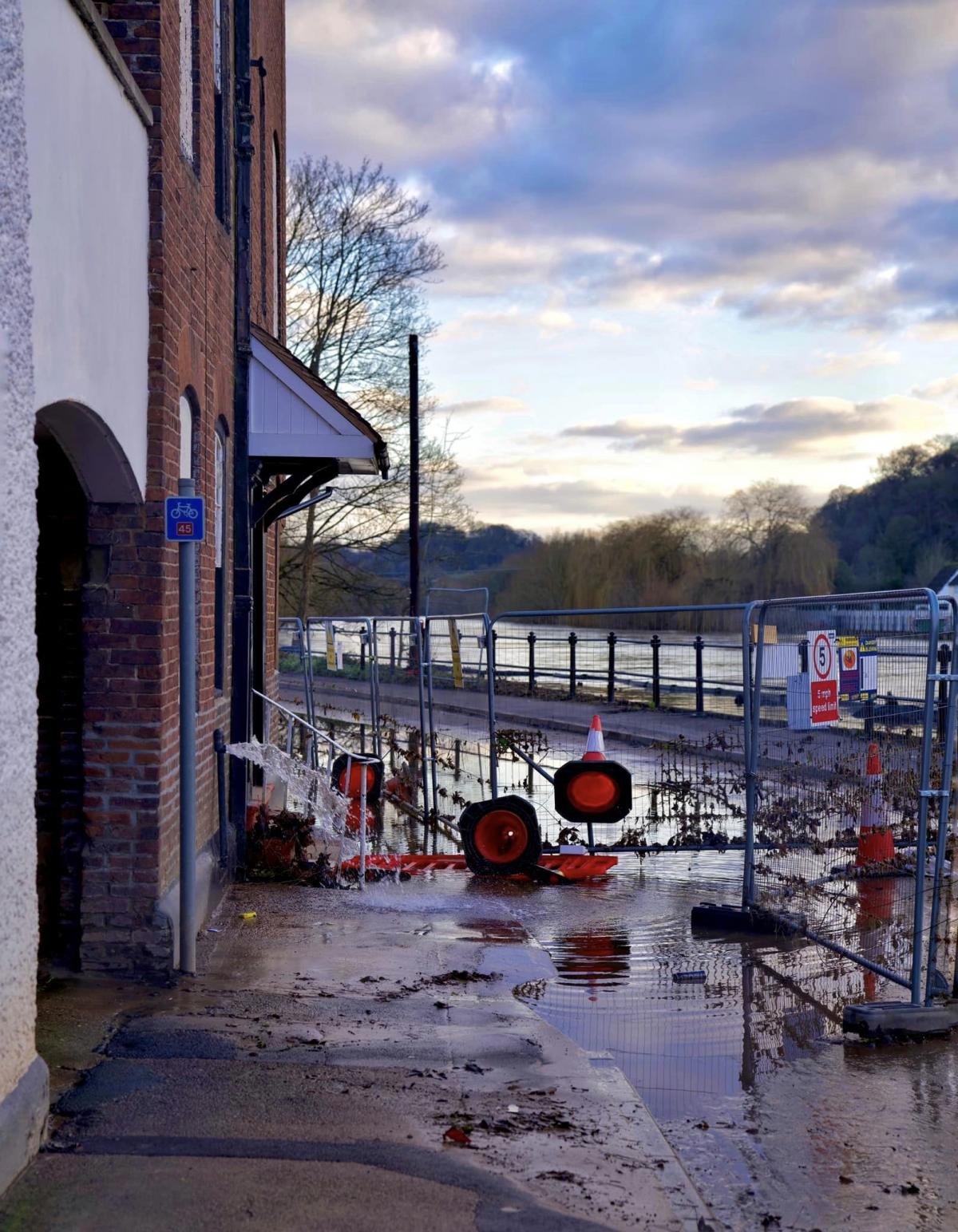
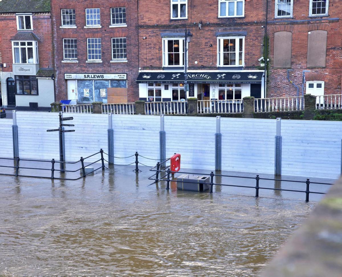
The river level peaked at 5.17m in Bewdley on Friday (January 5) after flooding the Wribbenhall side of the river. Flood defences were put up to full height to protect businesses and homes on Severnside.
The Environment Agency has not deployed temporary defences due to the construction of permanent flood barriers.
Worcestershire County Council, assisted by Wyre Forest District Council, carried out a clean-up operation at Beales Corner as river levels subsided.
Beales Corner has since re-opened one-way into town and the B4184 Switchback between Bewdley and Stourport has re-opened.
An amber flood alert remains in place for the area.
In an update, the Environment Agency said: "River levels are falling but remain high as a result of heavy rainfall.
"We expect flooding to affect low-lying land and roads adjacent to the river from Highley to Tewkesbury.
"Locations affected are Stourport, Holt Fleet, Worcester, Kempsey, Severn Stoke and Upton upon Severn. Install property-level protection if required.
Bewdley peaked at 5.17m on Friday morning. Worcester peaked at 5.6m on Friday morning. Diglis peaked at 5.13m on Wednesday evening.
"We expect river levels to remain high over the next few days.
"We are closely monitoring the situation. Please plan driving routes to avoid low-lying roads near rivers, which may be flooded".


Comments: Our rules
We want our comments to be a lively and valuable part of our community - a place where readers can debate and engage with the most important local issues. The ability to comment on our stories is a privilege, not a right, however, and that privilege may be withdrawn if it is abused or misused.
Please report any comments that break our rules.
Read the rules hereLast Updated:
Report this comment Cancel